GEO-OFFICE

EFFICIENCY IN MAP CREATION

Geo-Office interface

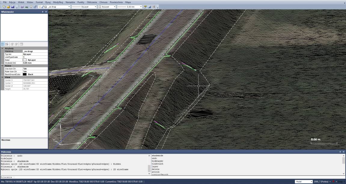
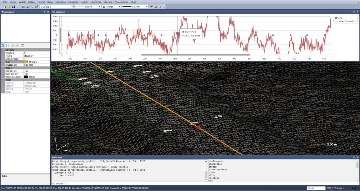
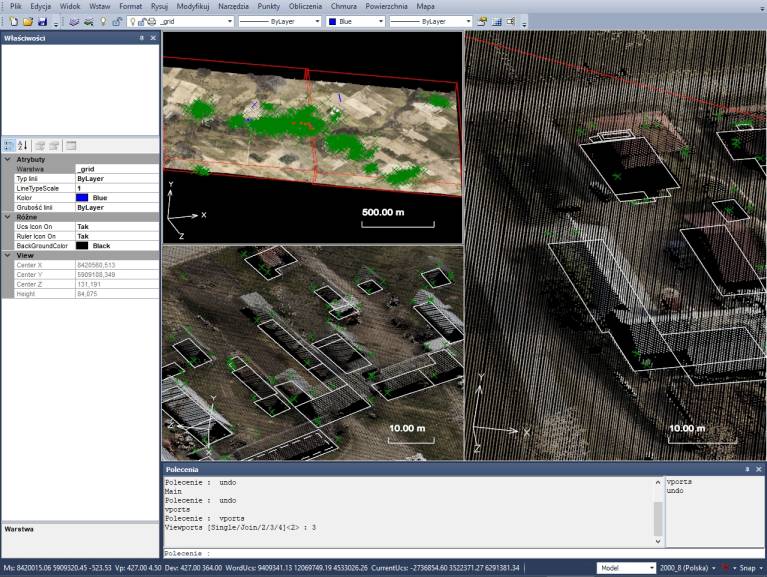
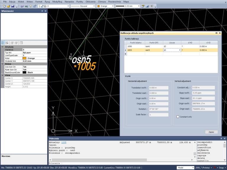
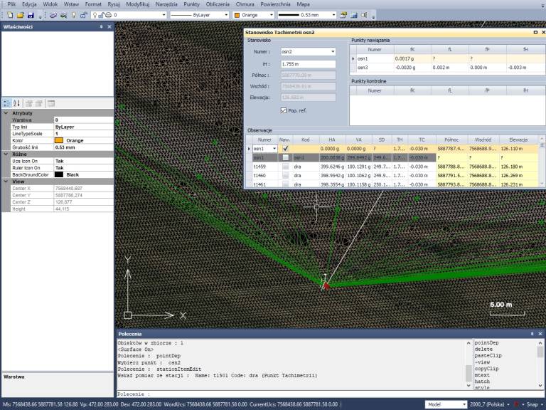
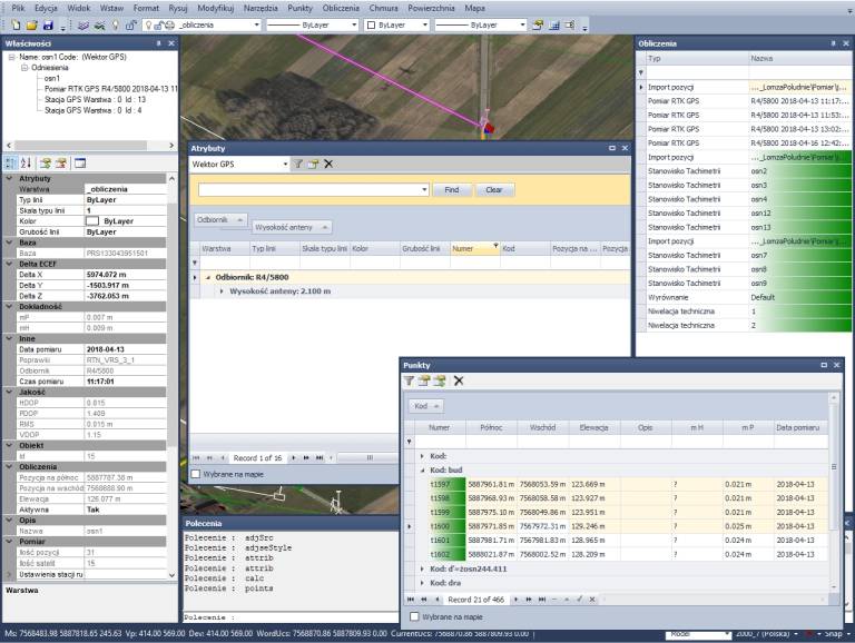
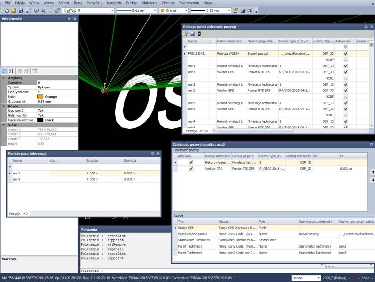
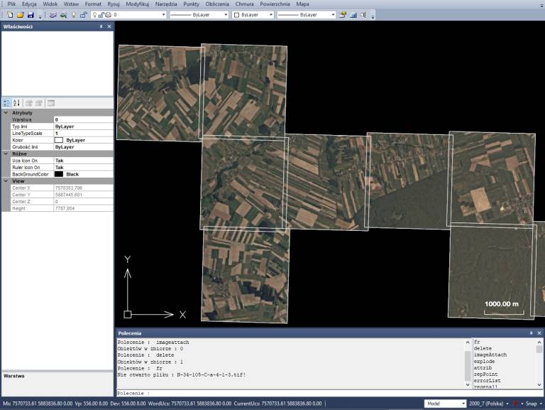
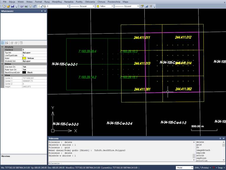
The software has been designed with the user's convenience in mind – a clear interface and logical tool layouts allow the operation to be learned quickly, even without long training. Many tasks are performed automatically – from generating reports to calculations and data conversion. This saves time and minimizes the risk of errors. Geo-Office is a high-quality, efficient 3D graphic environment. It is compatible with AutoCAD in terms of data formats and user interface. It includes a geodetic calculation module integrated with the map, support for rasters and many coordinate systems. It enables working with point clouds already in the basic version of the software. Thanks to an open architecture, it provides data exchange in many formats and is ready to be extended with new functions.

Point cloud palette
Point cloud RGB

Point clouds

The software enables efficient management of point clouds – their view, analysis and integration with other geodetic data. Thanks to visualization in different modes (for example RGB, height palette) you can quickly detect key information about the terrain and objects.

Cross-sections example 1 Cross-sections example 2

Cross-sections from point clouds and TIN models

Create cross-sections in real time directly on the basis of point clouds or TIN surfaces. Analyse terrain by adding points and checking the shape in a separate interactive window. Manage various materials – from digital terrain models (TIN), through orthophotos, up to all kinds of attachments and documentation. Contour and elevation calibration can be generated from the TIN surface. Various analyses and data checks are available for the TIN surfaces, for example earth mass balance. It is also possible to create profiles and cross-sections of the TIN surface. Geo-Office also detects objects from the point cloud, for example planes, circles, arcs and lines.

Panoramas

Panoramas with navigation and object marking

You can run panoramas acquired, for example, with our backpack scanner and automatically display map objects on them. You can also insert points directly in the 360° view, indicating them on the image.

Google Maps background

Google Maps in the background

It is possible to load standard road maps or satellite images from Google Maps into a project. This makes orientation in the field easier and allows you to compare data with the real image of the surroundings.

Multiple views

Working in multiple views

Geo-Office enables working in multiple views at the same time, which significantly increases work comfort and efficiency.

Coordinate systems

Custom coordinate systems

The user can define any coordinate systems through ellipsoid definitions, projections or transformations. Geo-Office provides support for various geoid formats and system shifts. A 3D coordinate system can also be calibrated based on GNSS measurements.

Calculation module

Integrated calculation module

A geodetic calculation environment is integrated with the map. The following measurements are performed directly on the map: orthogonal, polar, traverses, intersections, coordinate transformations (including between systems), resection, leveling, satellite measurements. It is also possible to import measurement data from field data recorders (for example JOBXML).

Reports

Calculation reports

In Geo-Office, precise coordinate adjustment is possible, also for integrated GNSS and classical measurements. Measurement data is collected and grouped automatically. Its verification and analysis is integrated with the map. It is possible to create personalized measurement reports which are also integrated with the map. Data stored on the map can be browsed in a table view, where the user can group, filter, sum and select objects for editing.

Data control

Measurement data control

Geo-Office includes an extensive module for measurement data quality control with an intuitive system for notifying about exceeded admissible error values and similar issues.

Raster support

Raster support

The raster environment in Geo-Office can easily load hundreds of orthophotos. It calibrates scans based on affine, polynomial and other transformations.

Coordinate systems and WMS

Coordinate systems

Geo-Office users can define projections of coordinate systems and download raster data from WMS servers (orthophotos, topographic maps, cadastral data). Geo-Office is integrated with the State Border Register.

Import / export of data

Geo-Office enables import and export of many data formats:
– data in GML format in accordance with current regulations – easy creation and updating of documentation and integration with official systems,
– support for DWG files – cooperation with the design industry, import from AutoCAD and export for further design work,
– definitions of objects (BDOT500, EGiB, GESUT) – creation of an object-oriented database according to regulations,
– import of descriptive and graphic data in SWDE format,
– import / export of graphic data in SHP format.