1
Project and control
Cartographic
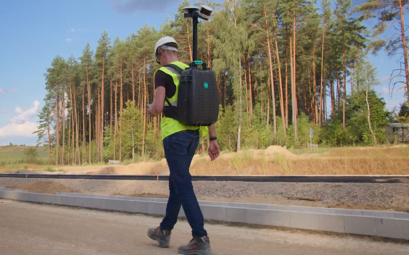
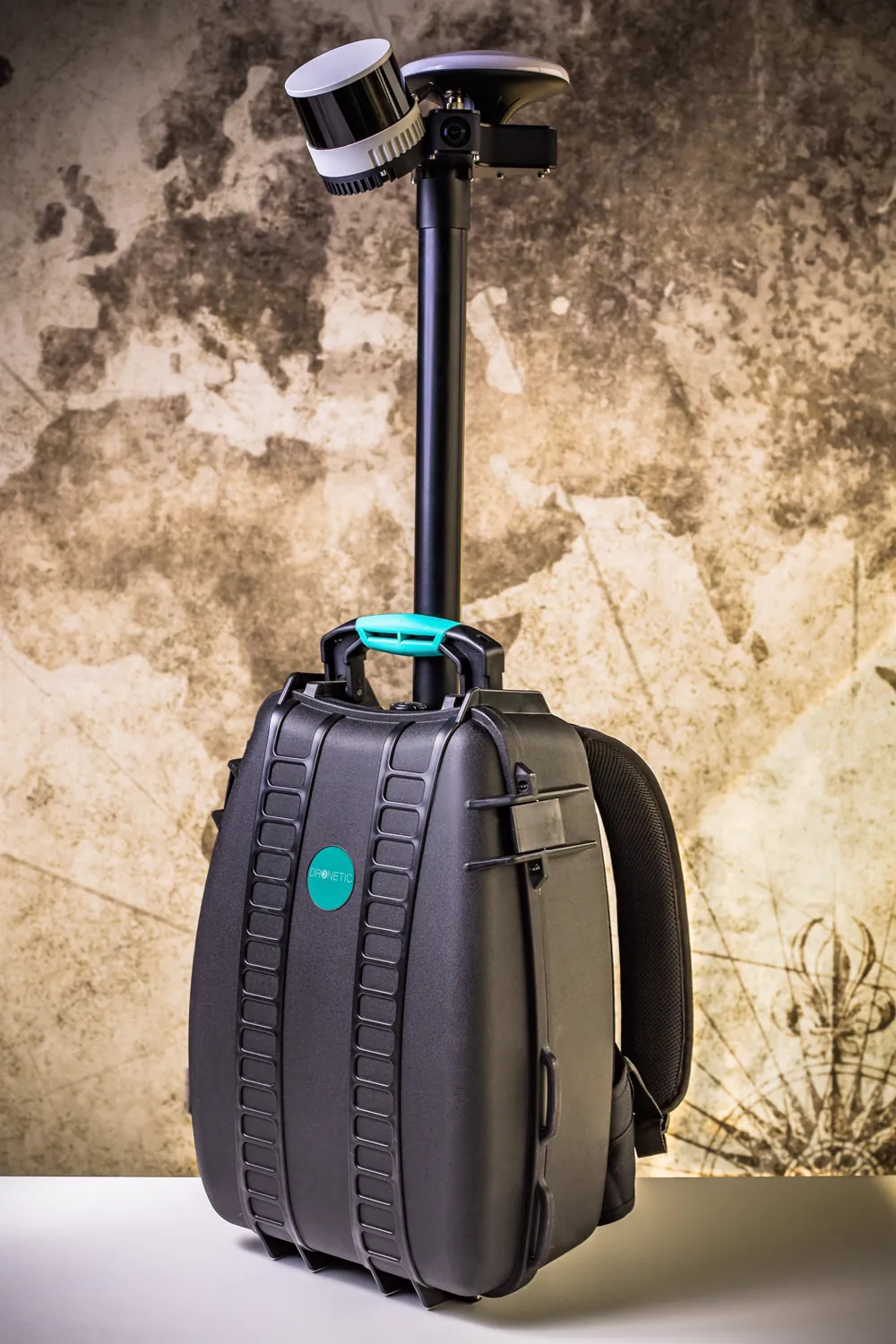
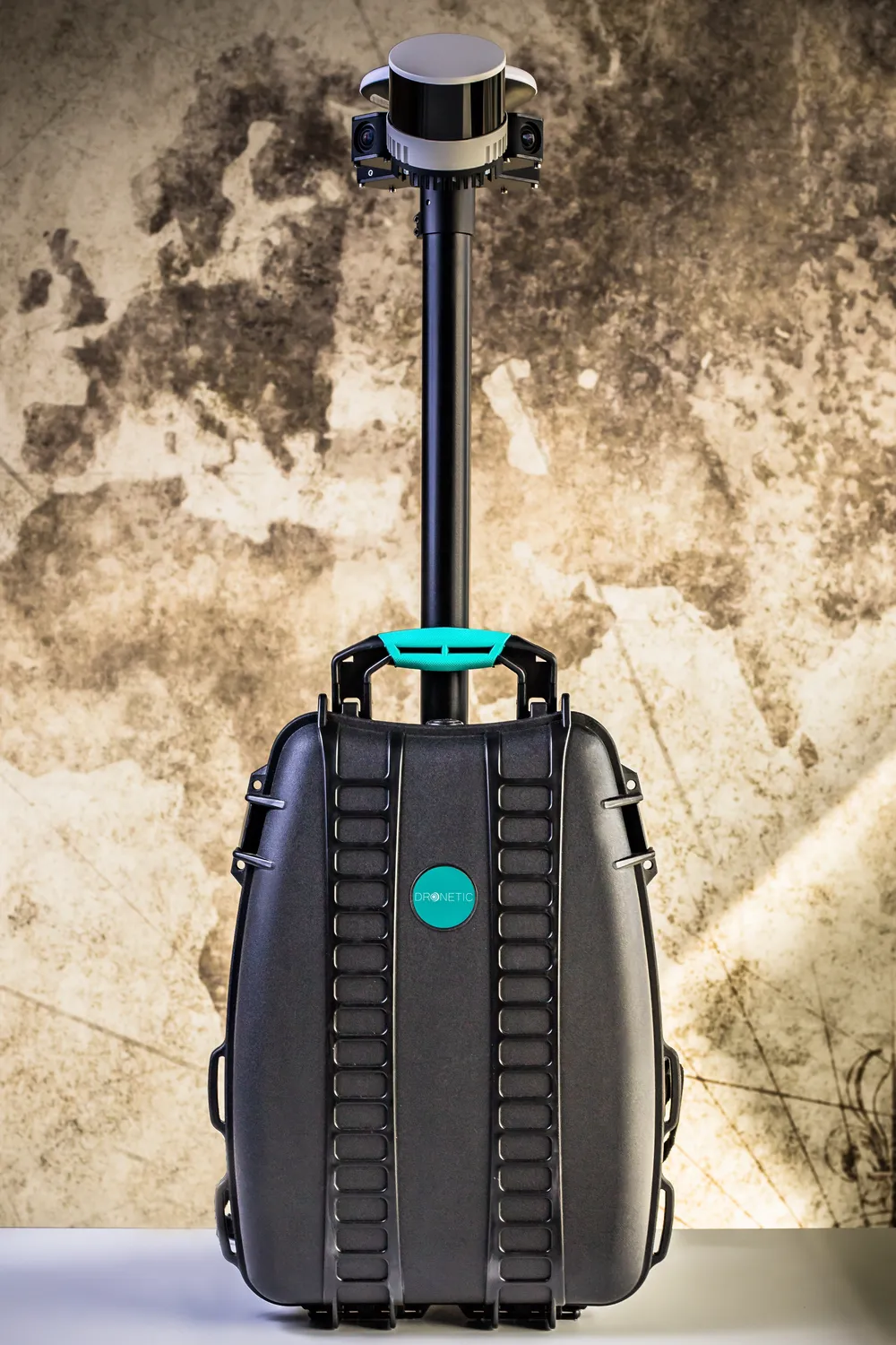
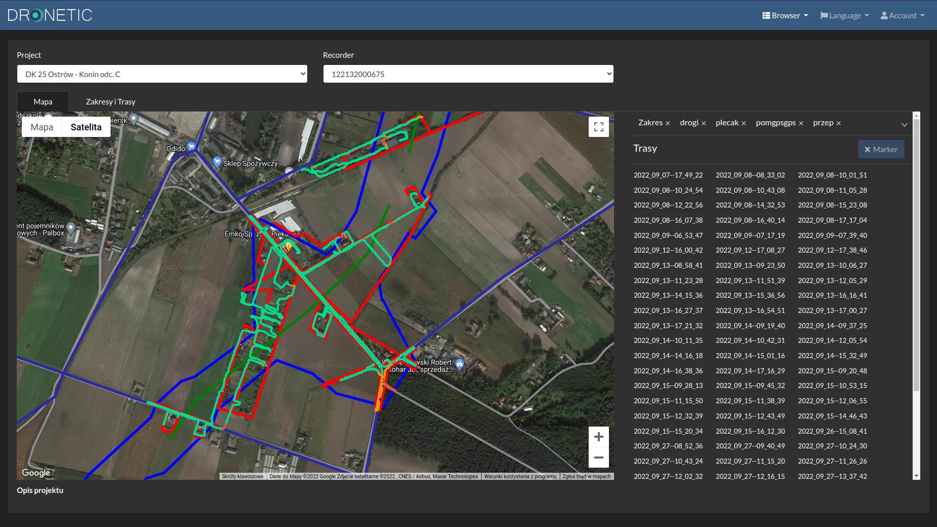
Upload the job area and the planned survey lines, so you know where to walk. From your phone you start the backpack and the survey and set the camera exposure. After every pass, its path is drawn on the project map.
How Cartographic works